Cities
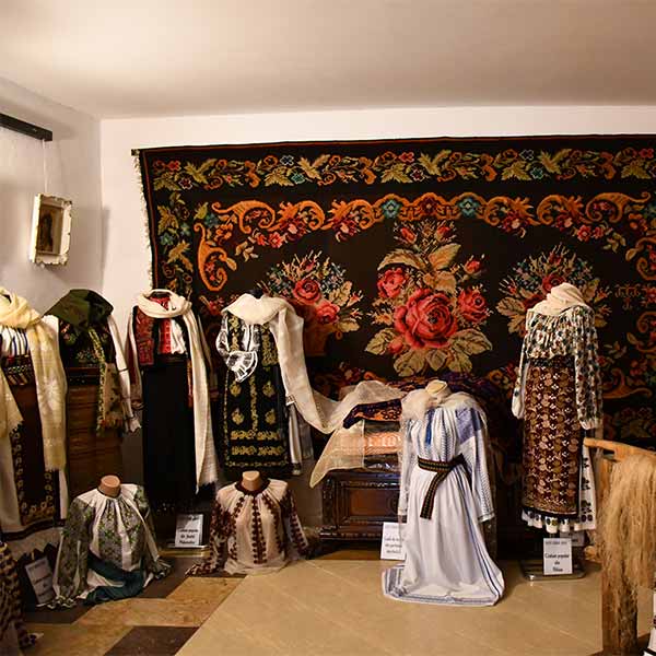
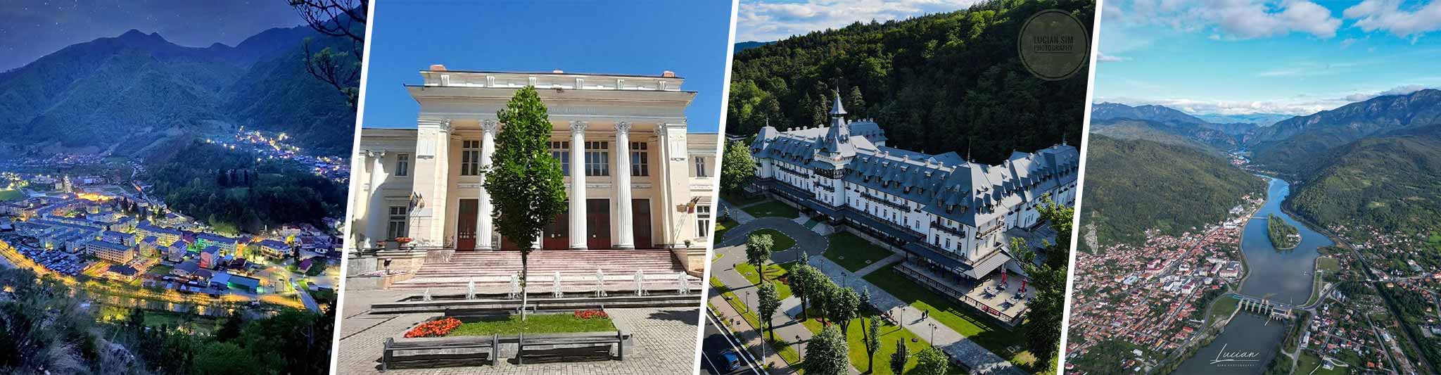
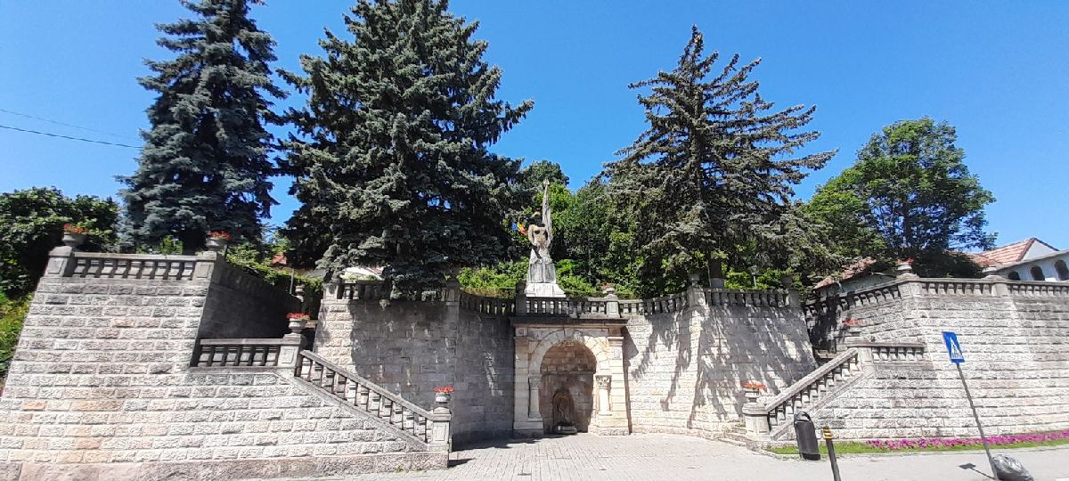
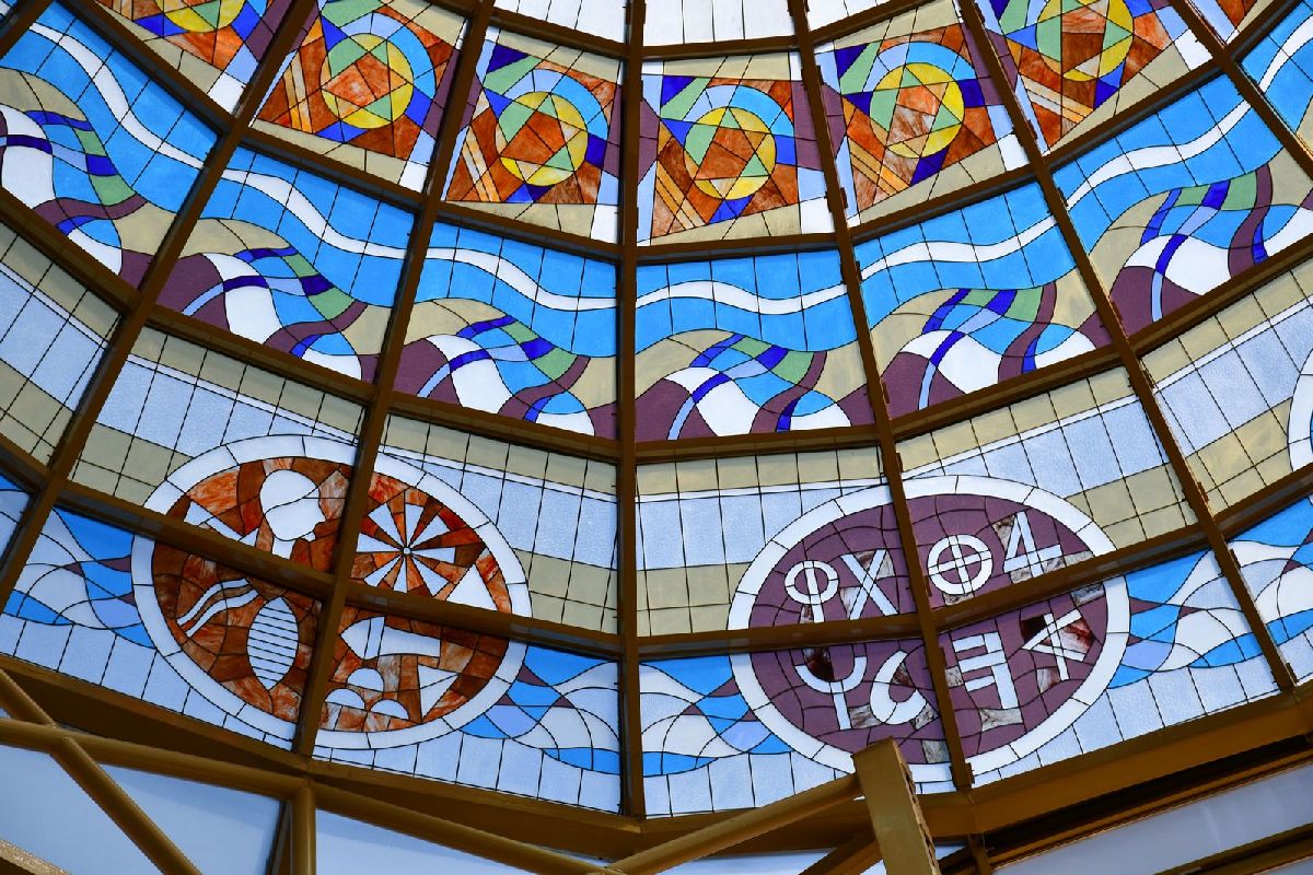
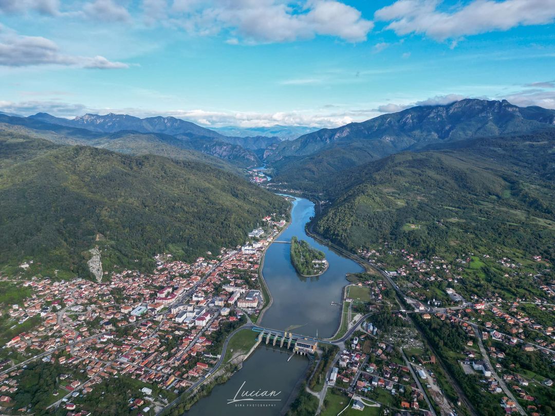
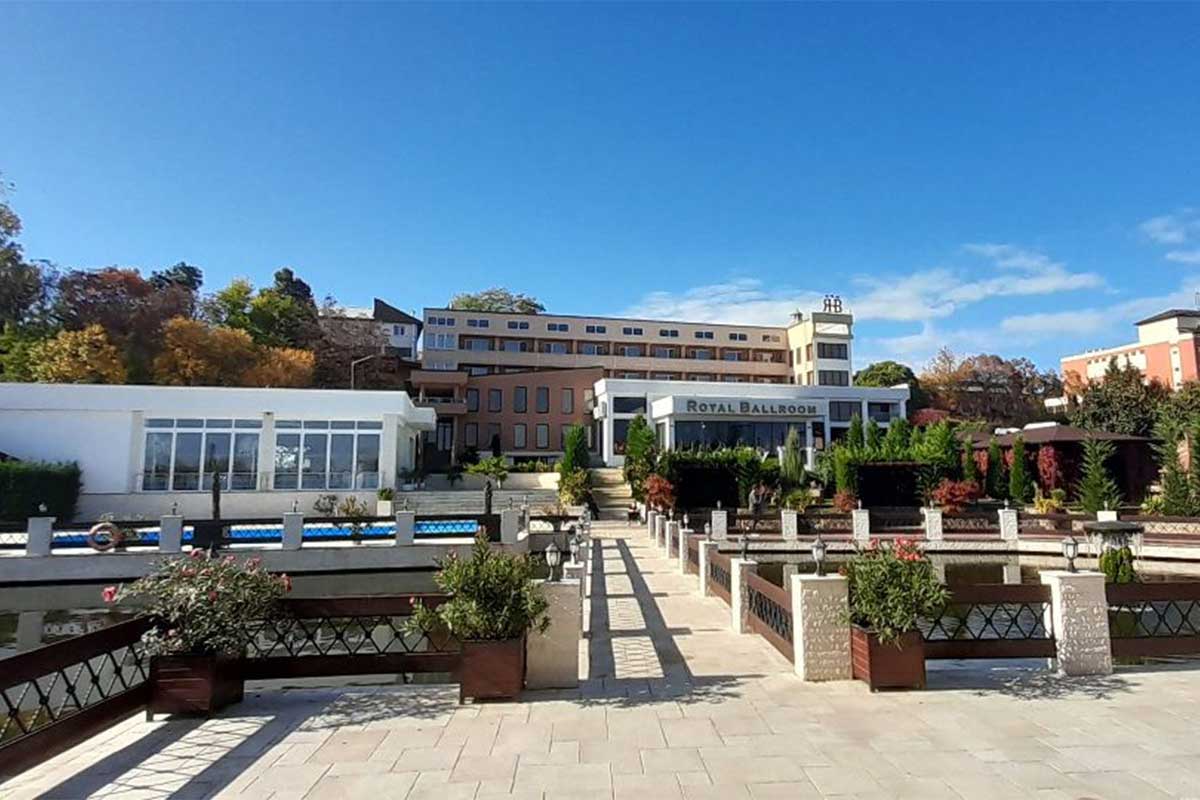
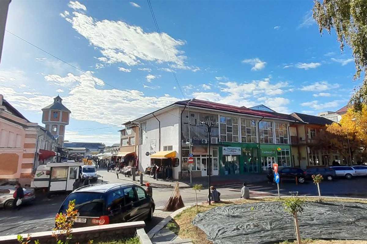
Ramnicu Valcea


Râmnicu Vâlcea is the municipality of the county of Vâlcea, Oltenia, Romania, made up of the component localities Aranghel, Căzănești, Copăcelu, Dealu Malului, Poenari, Priba, Râmnicu Vâlcea (residence), Râureni, Stolniceni and Troian, and the villages Fețeni, Goranu, Lespezi and Săliștea.
The town bathed by the waters of the old Alutus is an ancient settlement that has come down from the shadows of time, its millennial history attested by archaeological excavations found in the Valea Răii and Stolniceni districts. Here the Romans built lasting fortresses (castre) which, through their vestiges, testify to the continuity of the settlement over the centuries.
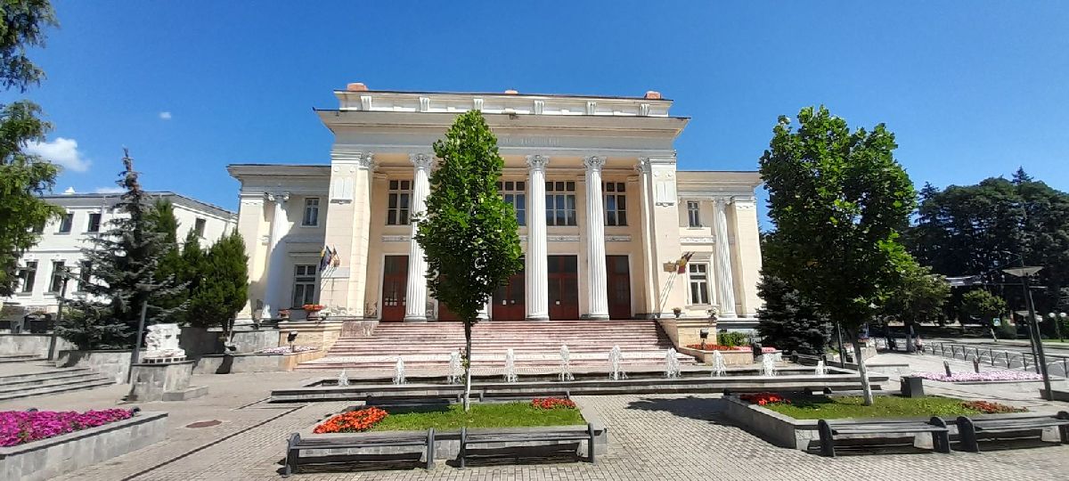
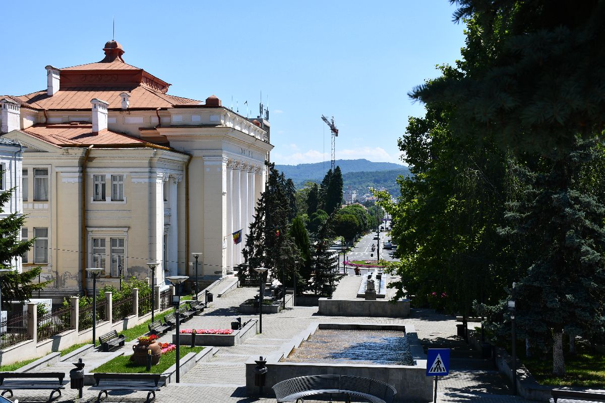
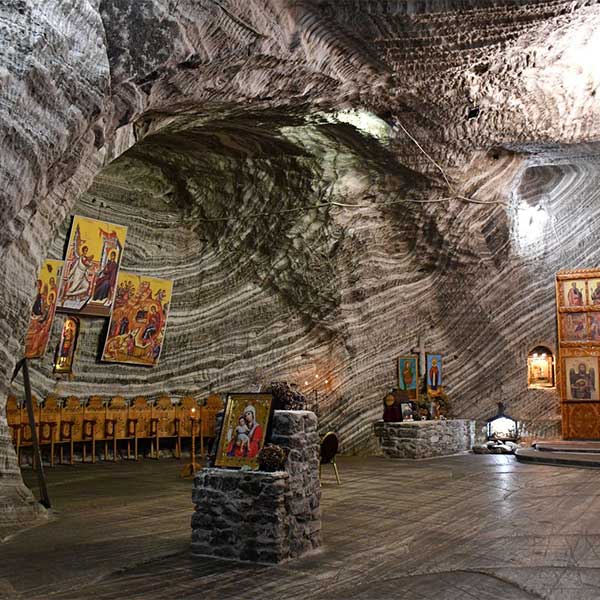
Tourist attractions in the area: Art Museum “Casa Simian” | “Antim Ivireanul” County Library | Zoo Ramnicu Valcea | Ocnele Mari Salt Mine (7 km)
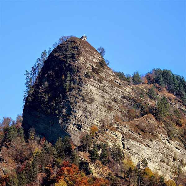
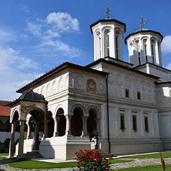
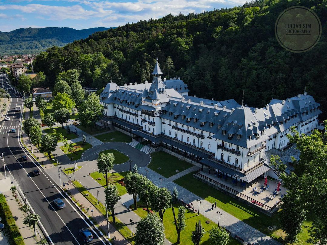
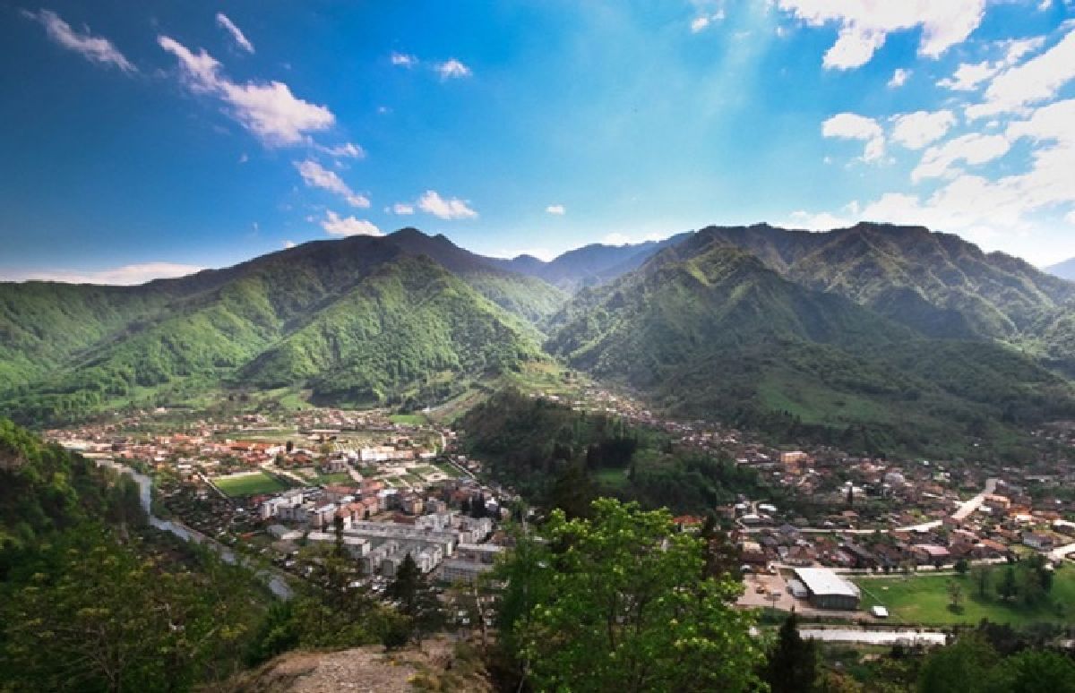
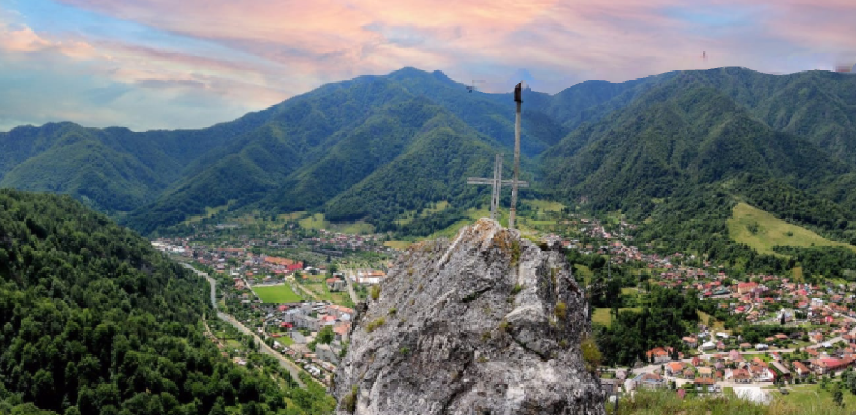
Calimanesti
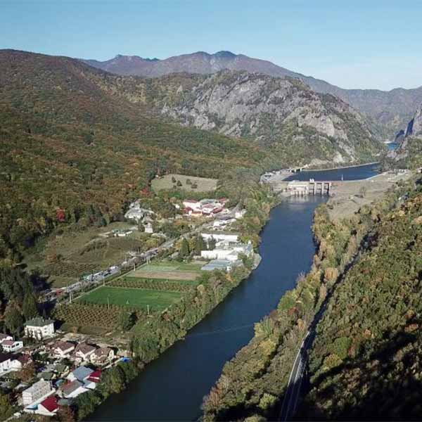
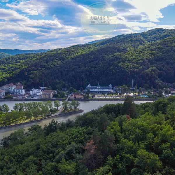
Călimănești is a town in Vâlcea county, Oltenia, Romania, consisting of the component localities Căciulata, Călimănești (the residence), Jiblea Nouă, Jiblea Veche, Păușa and Seaca. The town is situated in the north-eastern part of Valcea county at the foot of the Cozia massif and the Căpățânii mountains in the Southern Carpathians, on both banks of the Olt river, at its exit from the gorge, 20 km north of the county seat, the municipality of Râmnicu Vâlcea and 80 km south of the municipality of Sibiu.
Călimănești has a turbulent past, determined by the historical and social circumstances of past eras. The village of Căliman, came into being around the Cozia Monastery. Legend has it that the Cozia Monastery – to which the birth of the village is linked – was built near another, built by Negru Voda, which is located at the foot of Mount Capra, a little north of the Cozia Monastery. The founding of the Romanian Principalities on 24 January 1859, found around the Cozia monastery a cluster of small houses, the village of Cozia, descending the foothills of the mountains to the Olt water. “In these houses lived the needs of some Romanians who, perhaps, made the bridge between our daco-Romans ancestors and us Romanians”.
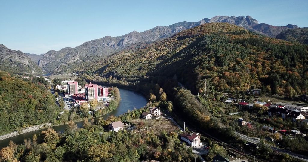
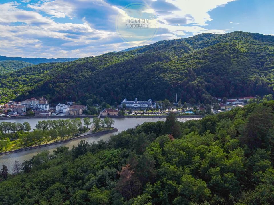
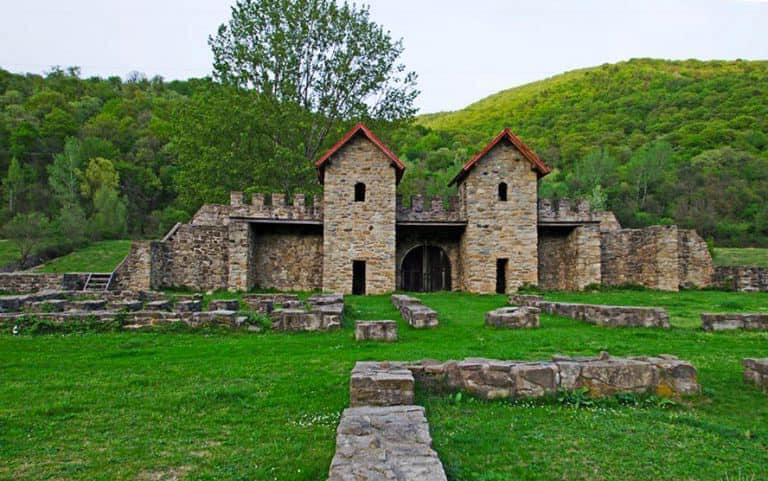
Sights in the area: Căliman’s Glade (2.5 km) | Turnu Monastery (4 km) | Arutela Roman Castle (6 km) | Stănișoara Monastery (12 km) | Frăsinei Monastery (21 km)
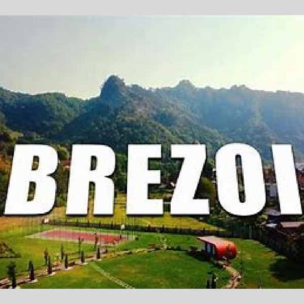
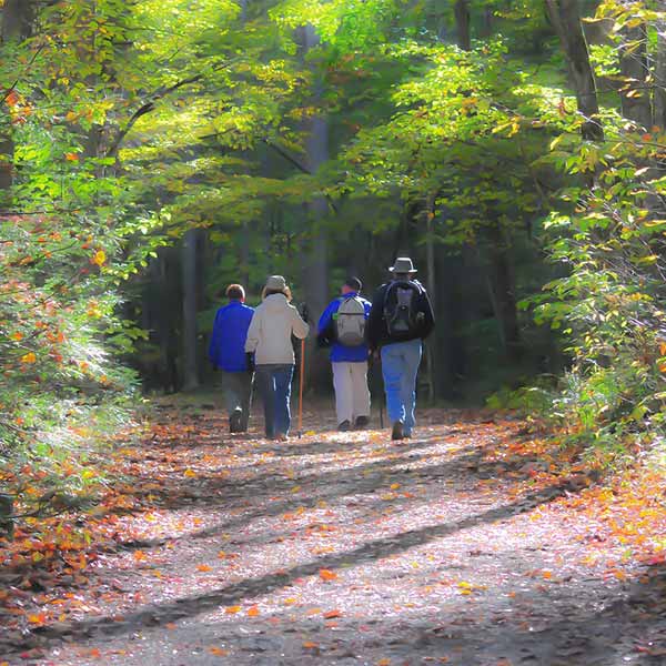
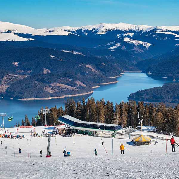
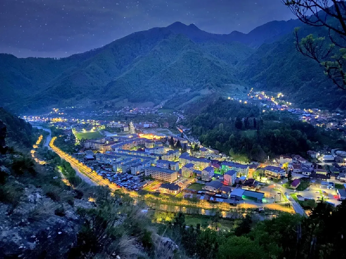
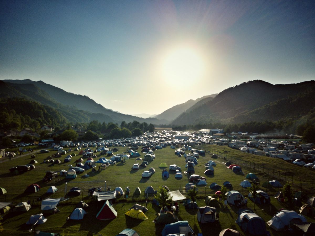
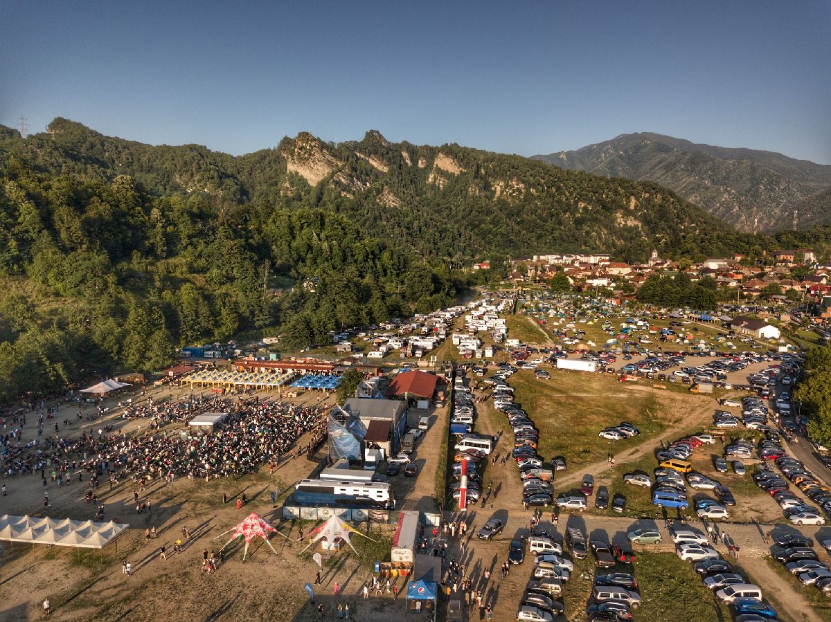
Brezoi
Brezoi is a town in Valcea County, Oltenia, Romania, consisting of the component town Brezoi, and the villages Călinești, Corbu, Drăgănești, Golotreni, Păscoaia, Proieni, Valea lui Stan and Văratica.
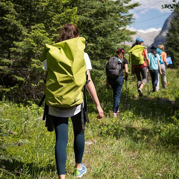
It is 35 km north of Râmnicu Vâlcea and 66 km south of Sibiu. It is the starting point for numerous marked tourist trails through the Lotrului, Capatânii and Cozia mountains.
Tourist attractions in the area: Țurțudanul Mountain, “Tâmpa Brezoiului” (1,4 km) | Cozia National Park (6 km) | Cornetu Monastery (12 km) | Cornetu Hermitage (12 km)
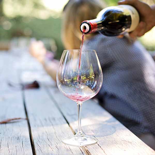
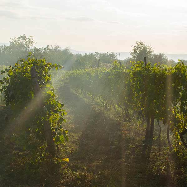
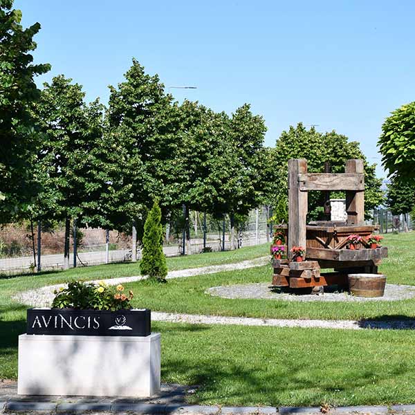
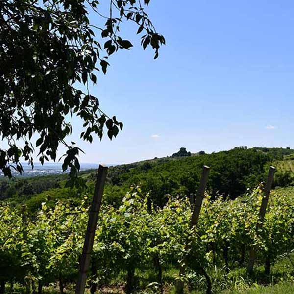
Dragasani
The town of Dragășani is located in the south-western part of Romania, in Valcea county. It is located at an altitude of about 150 meters above sea level, with an area of about 150 square kilometers and a population of over 14,000 inhabitants. It is located at the intersection of two major national roads, DN 64 and DN 67, making it an important crossing point for road traffic between Bucharest and the south-western areas of the country.
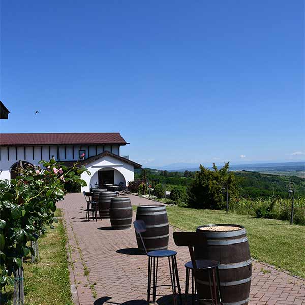
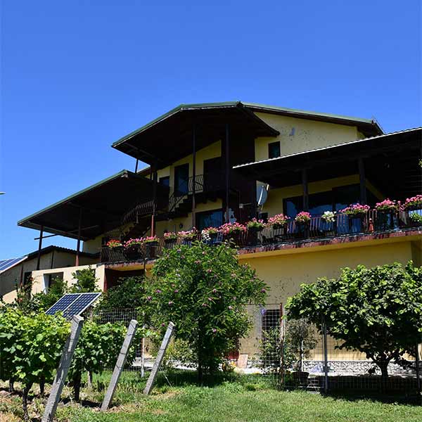
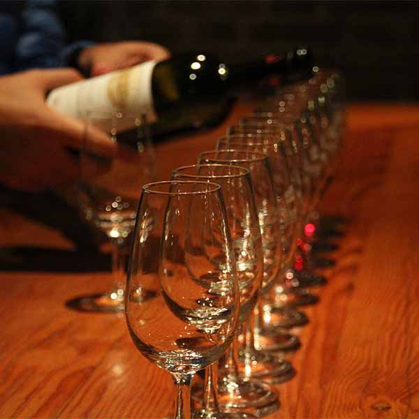
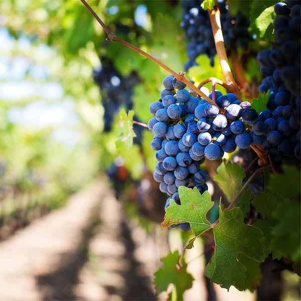
It is known as an important wine producer in Romania, with a long tradition in this field. The Drăgășani wine-growing area is located in Muntenia, being one of the most important wine-growing regions in the country and covering an area of over 5,000 hectares.
Drăgășani is also known for its wine festivals, such as the Drăgășani Wine Festival, which takes place every year in September and brings together local producers and wine enthusiasts from all over the country.

Targul Drăgașani Cathedral | St. Ilie Church | Church of the Assumption of the Mother of God | Ruins of the Russidava Roman Castle | “Lord of the Wheel” Fortress
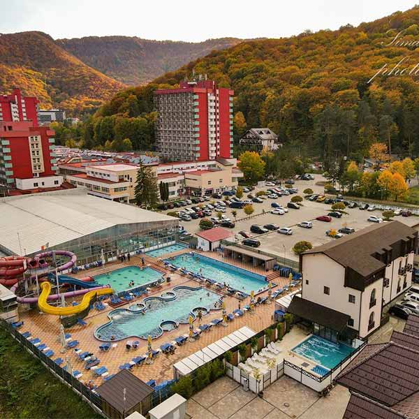
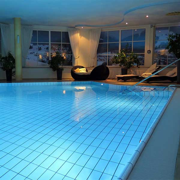
Băile Olănești
The town of Băile Olănești is located at the intersection of the 45th parallel north latitude and the 24th meridian east longitude, at an average altitude of 450 m. Valcea County is located in the central-southern part of Romania, in the middle basin of the Olt River, south of the Southern Carpathians.
Access to the resort: from Râmnicu – Vâlcea, continue on the national road 64A
Distance: Râmnicu-Vâlcea – Băile Olănești: 18 km
The resort is crossed by the Olănești river and the Cheia stream.
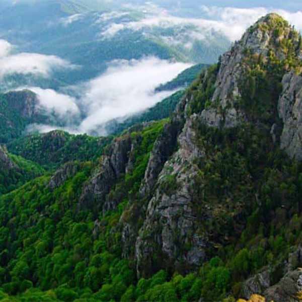
Băile Olănești resort is located in a depression surrounded by hills with heights of over 800m, covered with rich deciduous forests. The depression has an opening to the south, while to the north and west it is closed by the calcareous crests of the Căpățânii Mountains: Candoaia (1405m), Stogul (1494m), Căprăreața (1799m), Albul (1809m), Buila-Vânturarița (1863m), Gera (1885m), Vioreanu (1890m).
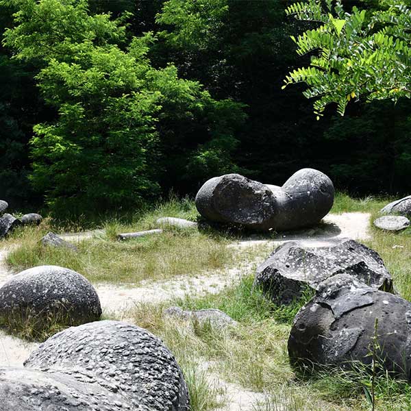
Sights in the area: Horea’s Church (1 km) | Water lily lakes in Olănești (1.9 km) | Anton Pann Memorial House (19 km) | Pahomie Hermitage (22 km) | Buila Vanturarita National Park (25 km) | Trovantilor Museum Reserve (34 km)